


Description:
The SAFERS project develops an innovative platform to support decision-making in wildfire management. This platform integrates satellite data, IoT sensors, and crowdsourced information to provide real-time insights into fire dynamics. SAFERS aims to improve the capacity of stakeholders to prevent, detect, and respond to wildfires effectively while fostering resilience and recovery.
Funded by the European Commission under the Horizon 2020 programme, SAFERS brings together a multidisciplinary consortium of partners, including researchers, technologists, and fire management practitioners. The project involves pilot demonstrations in high-risk areas across several European countries, ensuring that its solutions are tested and validated in diverse environments.
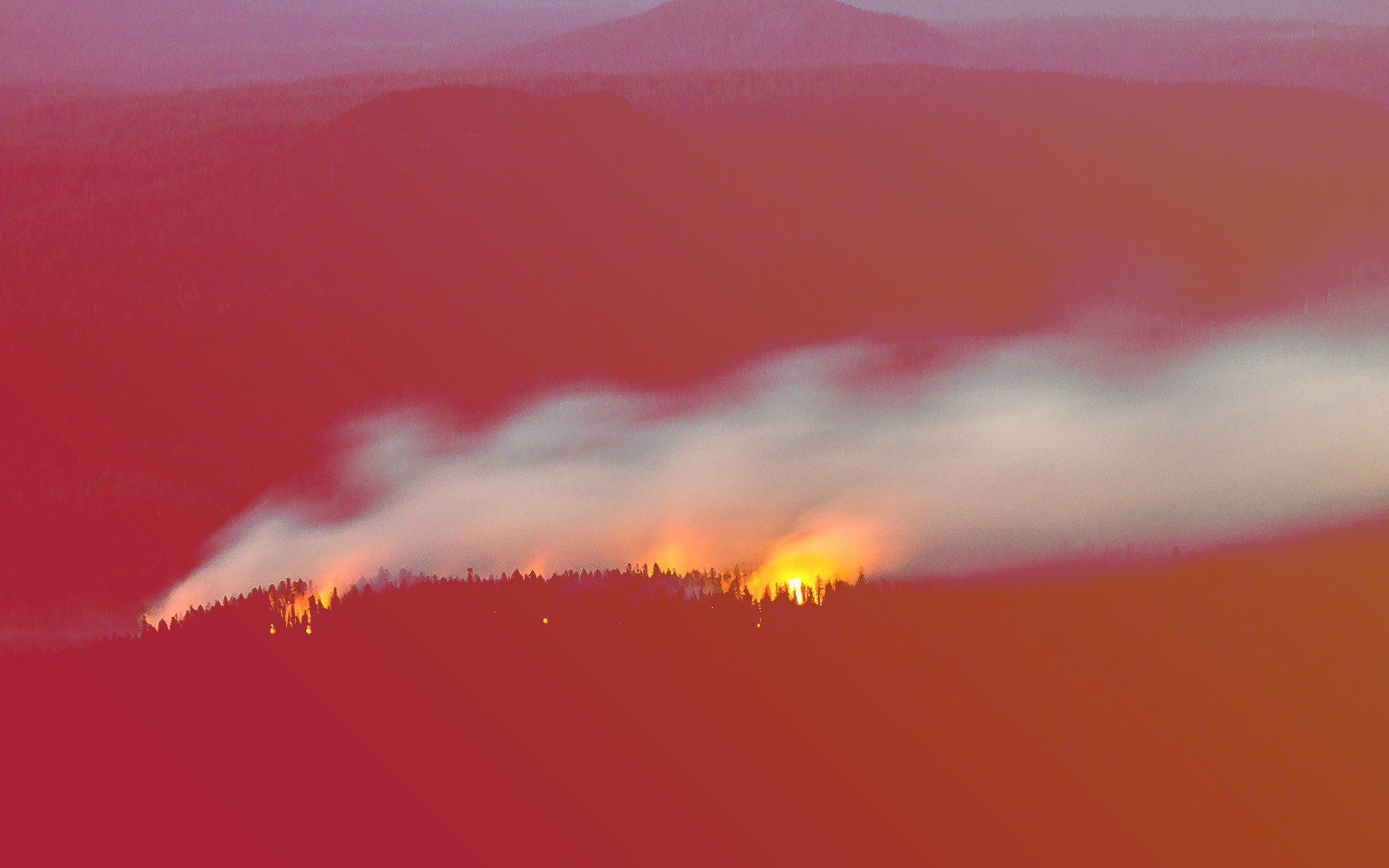
Wildfires pose a growing threat to Europe, exacerbated by climate change, land-use changes, and socio-economic pressures. These fires have devastating effects on human lives, biodiversity, and ecosystems, highlighting the urgent need for more effective and sustainable fire management strategies.
In response, SAFERS aims to transform wildfire management by providing actionable data and fostering cross-sectoral collaboration. By addressing the entire wildfire cycle—from prevention and preparedness to response and recovery—the project supports authorities, emergency services, and communities in building resilience against wildfires.
SAFERS combines advanced technologies such as artificial intelligence, machine learning, and geospatial analytics with participatory methods to ensure that solutions are user-centered and context-specific. This approach enhances situational awareness, improves resource allocation, and mitigates the impacts of wildfires on ecosystems and society.
The Euro-Mediterranean Water Information System on know-how in the Water Sector (EMWIS) is responsible for ensuring the project’s dissemination, stakeholder engagement, and exploitation, thereby maximizing its impact across the Mediterranean and beyond.